


NOAA Installs Four High-Tech Sensors to Track Jamaica Bay Tides in 2026

NEW YORK — The National Oceanic and Atmospheric Administration deployed four advanced digital monitoring transponders along the Joseph P. Addabbo Memorial Bridge on Wednesday, federal officials confirmed. The state-of-the-art telemetry system will provide real-time updates on Jamaica bay tides to prevent roadway flooding.
Federal Technicians Synchronize Transponders to Track Jamaica Bay Tides
The newly installed devices utilize microwave radar technology to measure water elevation with millimeter precision. Technicians completed the installation during a scheduled maintenance window on the bridge.
According to a NOAA press release, the sensors will transmit data directly to regional emergency management databases every six minutes. This continuous stream will allow municipal teams to predict localized flooding before it impacts commuters.
Global monitoring networks have increasingly relied on similar automated telemetry systems to track severe oceanographic anomalies. Recent publications found on the Global News environmental index show how coastal cities leverage this technology.
Senior Hydrologist Marcus Chen Evaluates Tidal Elevation Patterns
"These sensors remove the guesswork from coastal flood forecasting," said Marcus Chen, senior hydrologist at the regional marine center. "By tracking Jamaica bay tides with this level of accuracy, we can protect critical evacuation routes."
Chen explained that the interaction between seasonal winds and narrow channels often causes water to pool unexpectedly. The new system isolates these variables to produce highly localized forecasts.
Commuters driving south toward the Rockaways watched spray from high wakes splash against the bridge pilings during the morning rush as coastal winds whipped across the asphalt. This daily commute remains vulnerable to sudden tidal shifts.
City Agencies Utilize Jamaica Bay Tides Telemetry to Divert Cross Bay Traffic
The New York City Department of Transportation plans to integrate the tidal feed into its automated roadside warning signs along Cross Bay Boulevard. This integration will automatically trigger warning displays when water levels approach the roadway.
According to transportation logs, high waters regularly force temporary lane closures near Broad Channel during full moon cycles. The real-time telemetry will help drivers bypass these zones before getting stuck.
This technological solution is particularly critical given the financial pressures faced by local commuters. Rising costs, such as the high gas prices on Cross Bay Boulevard, have made travel delays increasingly expensive for regional workers.
Broad Channel Sea Level History Guides New Sensor Placement
Historically, Broad Channel residents have monitored water levels using visual depth markers painted on utility poles. While functional, these manual methods could not provide advance warnings during nocturnal high tides.
Previous flooding incidents have caused significant property damage and disrupted emergency response times across the peninsula. A notable example was the serious vehicle collision in Ozone Park, which highlighted how gridlock can delay emergency vehicles.
Engineers analyzed historical flood maps from the past twenty years to identify the most critical monitoring points. The chosen locations represent the lowest elevations along the primary north-south corridor.
Evacuation Route Safety Measures Scheduled for Completion in June 2026
The final phase of the telemetry integration project is scheduled for completion in June 2026. This phase will connect the sensors directly to the mobile alert systems of regional emergency services.
Local community leaders have welcomed the project as a necessary upgrade for the isolated peninsula. Several civic associations plan to host public demonstrations on how to access the live tidal data portal.
With the new systems in place, city officials expect to reduce storm-related traffic delays by forty percent. The project serves as a model for other vulnerable coastal communities in the metropolitan area.
Frequently Asked Questions
How can local drivers access the real-time tidal data before starting their commute?
Commuters can view live water level readings on the official NOAA Tides and Currents portal or via the city's emergency notification application. Additionally, digital signs along Cross Bay Boulevard will display active warnings during high water events.
Will these newly installed tidal sensors survive severe winter storms and saltwater corrosion?
Yes, the sensors are housed in military-grade waterproof enclosures designed to withstand high winds and salt air. Technicians have scheduled bi-annual inspections to clean and recalibrate the radar units.
Does the new monitoring system predict flooding caused by heavy rainfall as well?
The radar sensors measure overall water height, which includes the combined impact of high tides and heavy rain accumulation. However, localized street pooling away from the shoreline must still be reported through municipal service channels.
Written by
Newstrix
Cross Bay News
Related Articles
More in Transportation & Traffic →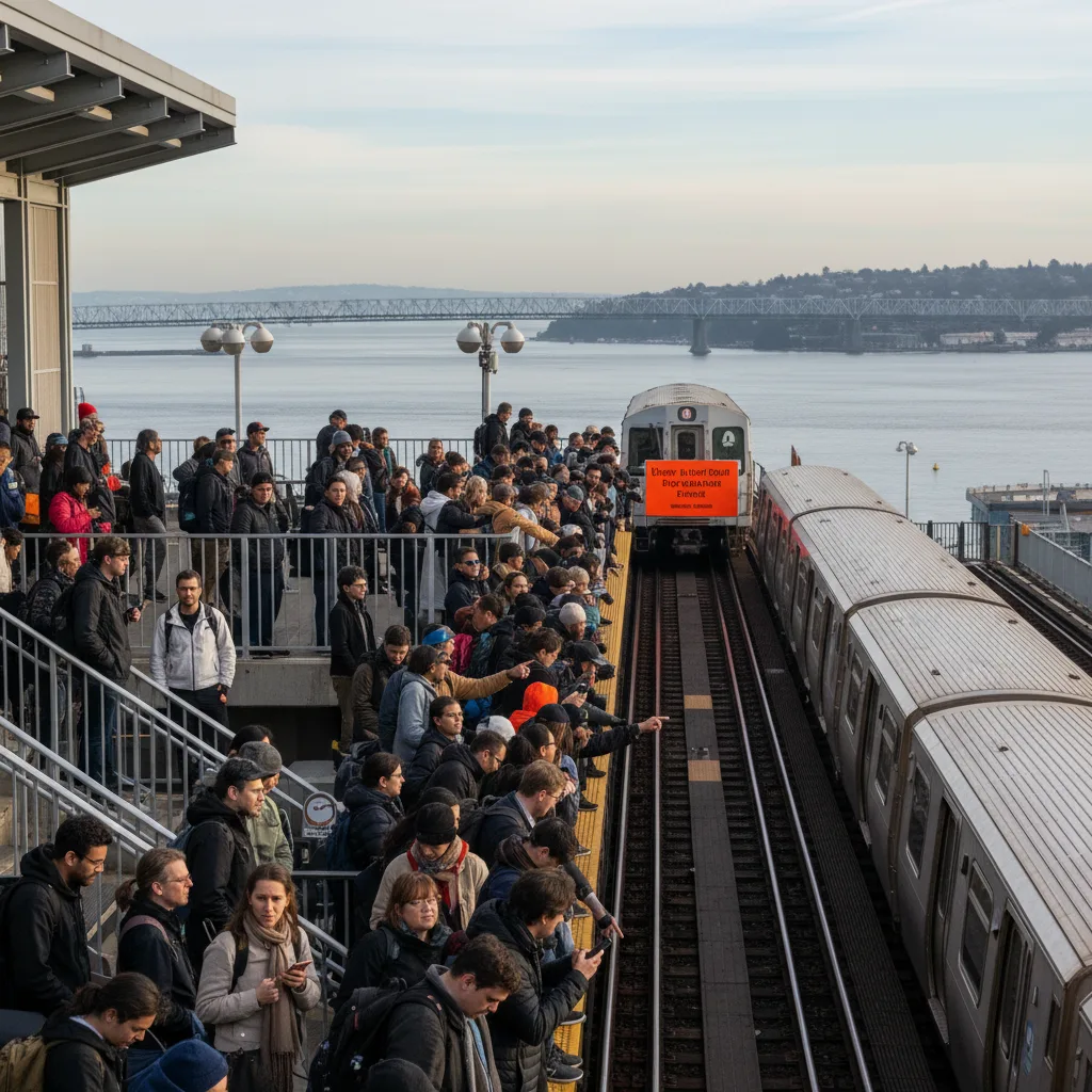
A Train Service Disrupted Between Broad Channel and Far Rockaway 2026
A Train service was rerouted and suspended between Broad Channel and Far Rockaway on Oct 6, 2026. Thousands of Queens commuters faced major delays.
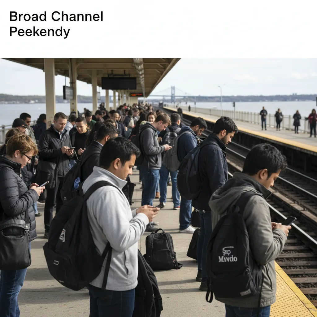
Queens Commuters Face Subway Service Disruptions This Weekend, October 2-5
Queens commuters face significant subway service disruptions this weekend (October 2-5, 2026) as MTA halts A train service between Broad Channel and Far Rockaway-Mott Av. Prepare for delays.
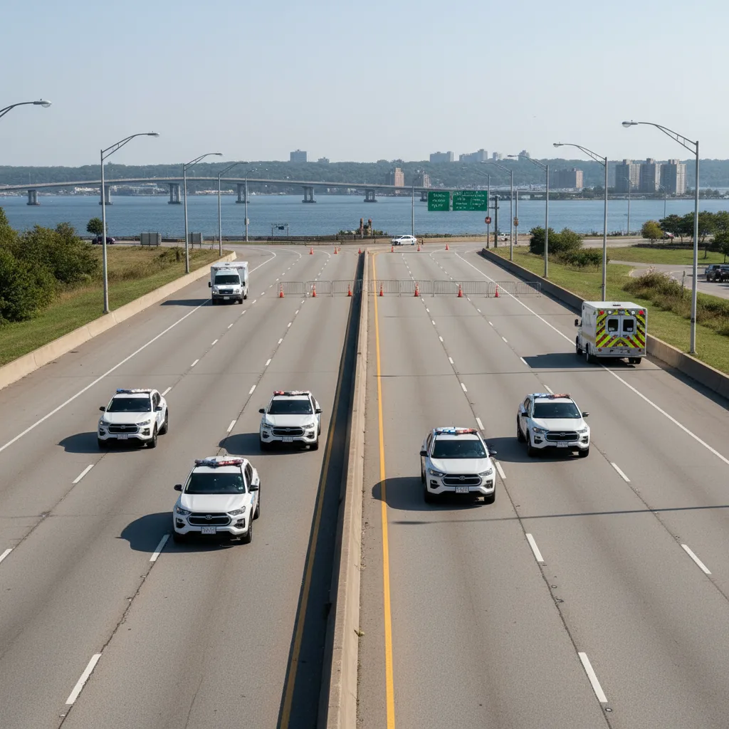
Cross Island Parkway Crash Injures Five, Closes Portion on Labor Day
A major crash on Cross Island Parkway in Queens injured five, including teens, and closed a portion of the highway this Labor Day Weekend.

Collision on Shore Parkway Eastbound Blocks Lane Near Crossbay Boulevard
A vehicle collision on Shore Parkway eastbound near Crossbay Boulevard in Howard Beach, Queens, has blocked one lane, causing significant delays.
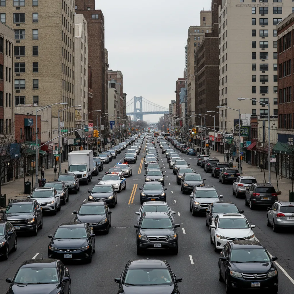
Cross Bay Boulevard Commuters Face Major Traffic Delays After Cyclist Fatality
Cross Bay Boulevard commuters faced traffic delays on October 3, 2026, as officials pushed for protected bike lanes and a stoplight after a fatal cyclist accident. This impacts Queens residents.

Your Essential Guide to Sandals Jamaica Montego Bay for Queens Travelers
Planning a luxurious escape? Our guide to Sandals Jamaica Montego Bay helps Queens residents plan the perfect all-inclusive, adults-only Caribbean getaway.